


Private: Sustainability old / Geo-Diversity
Geo-Diversity
The Irish Geological Heritage Programme spearheaded by the Geological Survey of Ireland (GSI) sets out to protect and promote important geological sites representing different geological themes across the country.
One of Kilsaran’s working quarries is identified as a County Geological Site. In this case rare fossils within the rocks show that the area of the quarry was once a volcanic island in the middle of an ancient ocean, when Ireland was composed of two separate bits of the Earth’s crust, later brought together by plate tectonics.
Ongoing extraction at the quarry enhances this geological value through fossil collecting and research opportunities.
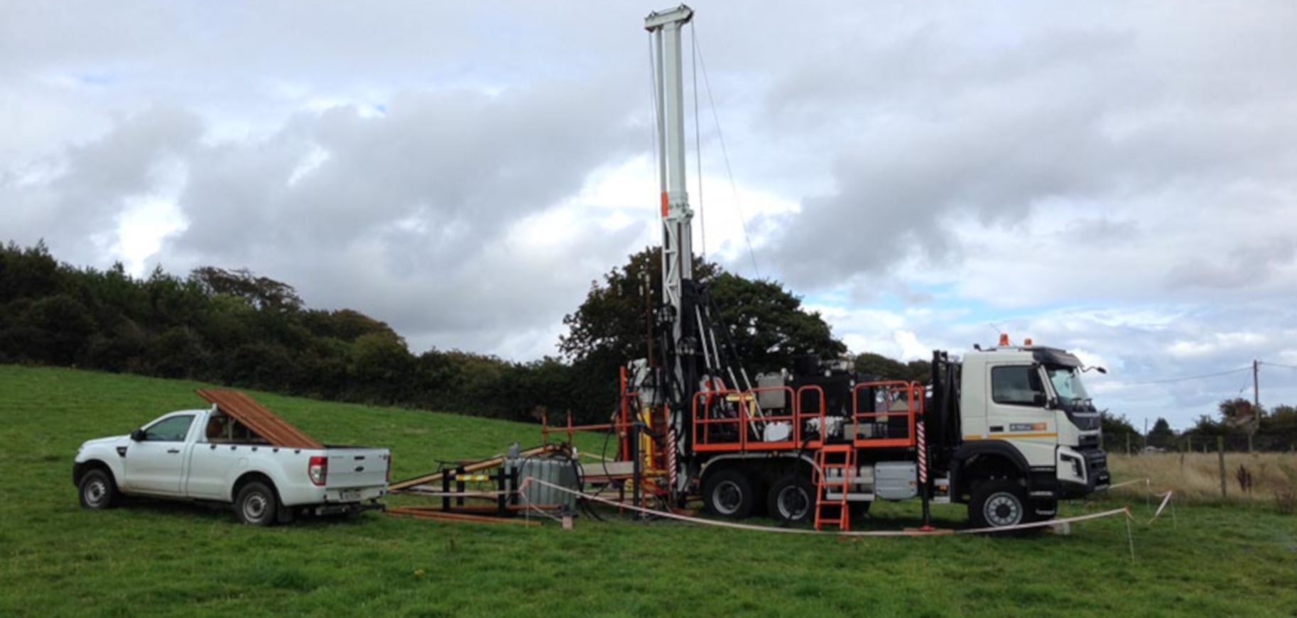
To this end Kilsaran has agreed to support and allow access to a geological research team which will improve our knowledge and interpretation of events 450 million years ago. The GSI’s drill rig can be seen at the quarry site collecting drill cores for analysis.
Co-operation between Kilsaran and the GSI is not a new thing, over a number of years from 2002, the Company backed a quaternary geology mapping project in County Louth and parts of Westmeath. The finished products include detailed maps of the superficial deposits across County Louth, which are freely available from the GSI.